


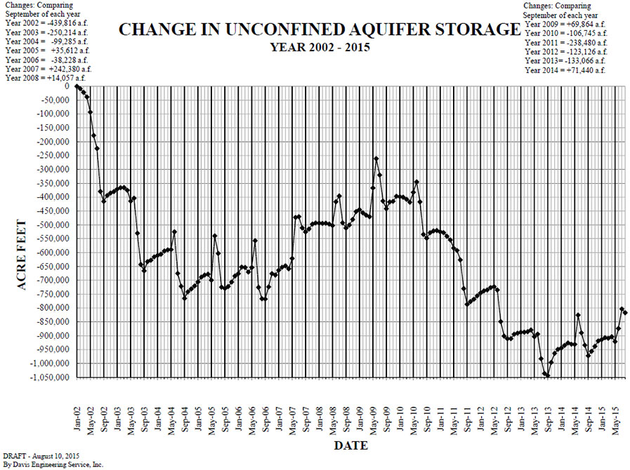
Year 2002 – 2015
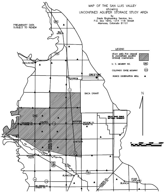
Change in unconfined aquifer storage has been calculated for a defined area which is shown on the below map and graph. The changes in the aquifer storage were based on approximately 27 RGWCD monitoring wells located within the area. The method of computing the change in aquifer storage was in accordance with the Thiessen mean method whereby a polygon is constructed around each observation well and the assumption is made that the change in water level throughout the area of the polygon is the same as the change in the well within the polygon. A graph showing the change is also below.
Change in Unconfined Aquifer Graph
Unconfined Aquifer Storage Study Area